Utility-Mapping-Page-Header
Utility Mapping Sub Service Group Page Icon 1

70 years of collective project experience.

Utility Mapping Sub Service Group Page Icon 2

200 miles of utility routes surveyed in the past 10 years.

Utility Mapping

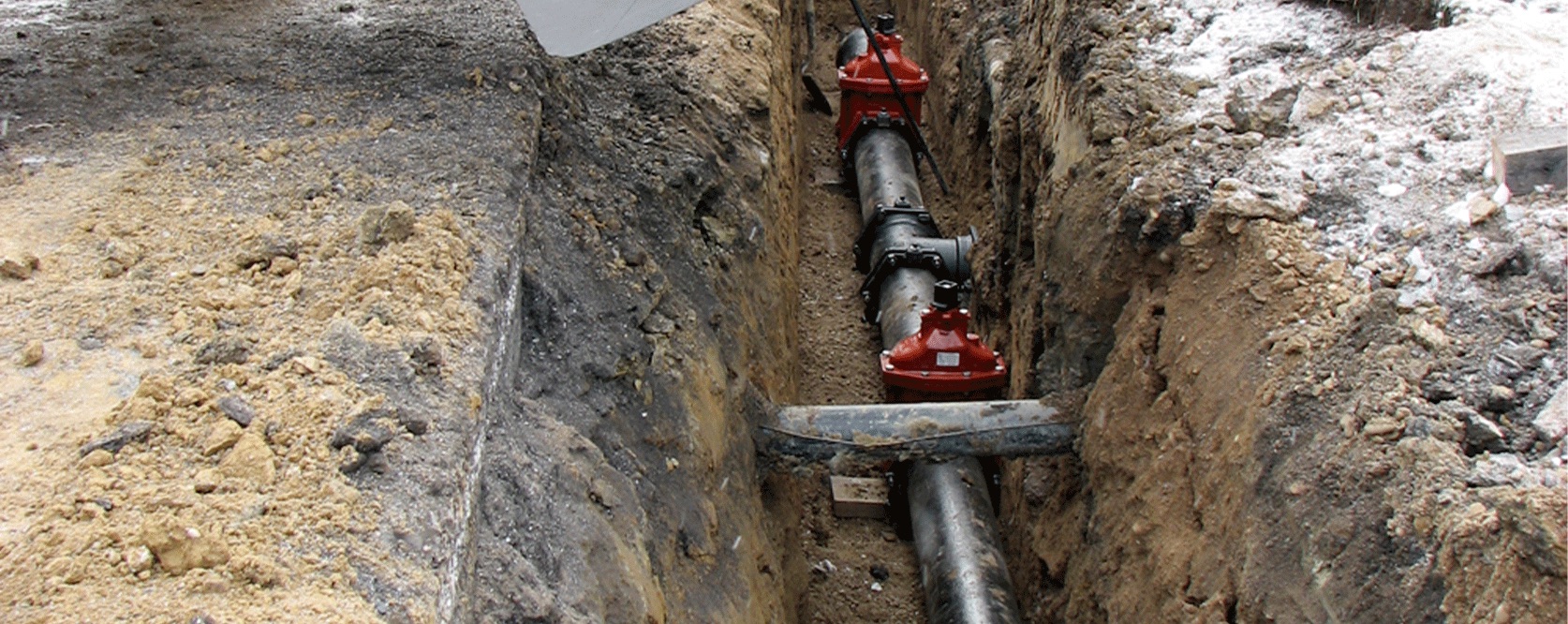
Accurate base mapping results in quality designs. Environmental Design Group’s team of surveyors provide high quality Base Mapping from our years of experience and knowledge of the end users’ needs.

14 FACT about this specific Service Group. Fun Fact.

About this specific
500 SERVICE
GROUP.

Fun fact about this specific Service Group.
FUN FACT
70.

The complexity of above ground features and underground utilities makes most utility projects a challenge to design. Environmental Design Group’s surveyors have years of experience mapping utility routes. Our knowledge and experience in construction layout helps in mapping new areas.

Utility Mapping Services

  • Aerial Mapping Control
  • ALTA/NSPS Land Title Surveys
  • As-built Surveys
  • Bathymetric Mapping
  • Boundary Surveys
  • Consolidation/Subdivision Plats
  • Construction Layout
  • Easement and Legal Document Preparation
  • Erosion Control Plans
  • Geographic Information Systems
  • Housing Services
  • Industrial, Commercial, Residential Development Surveys
  • Land Acquisition
  • Laser Scanning
  • Mobile LiDAR Scanning
  • Property Line Surveys
  • Residential Site Plans
  • Right-of-Way Plan Development
  • Subdivision Designs
  • Topographic Mapping
  • Utility Inventory Mapping