
Land Surveying & Mapping
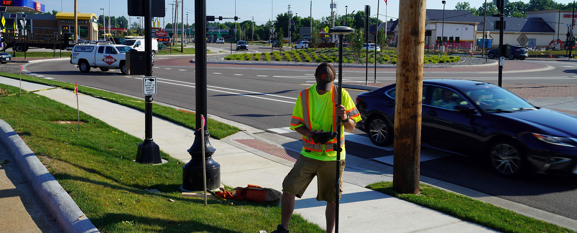
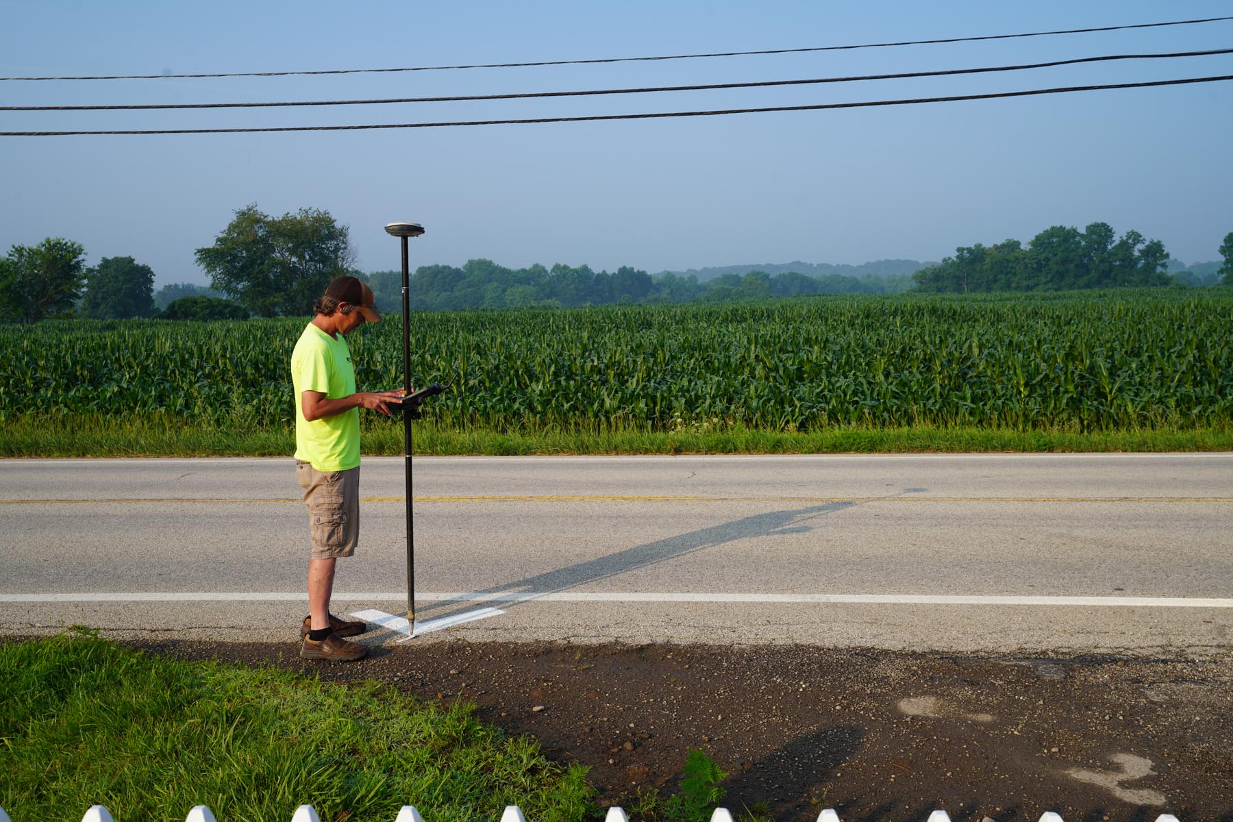
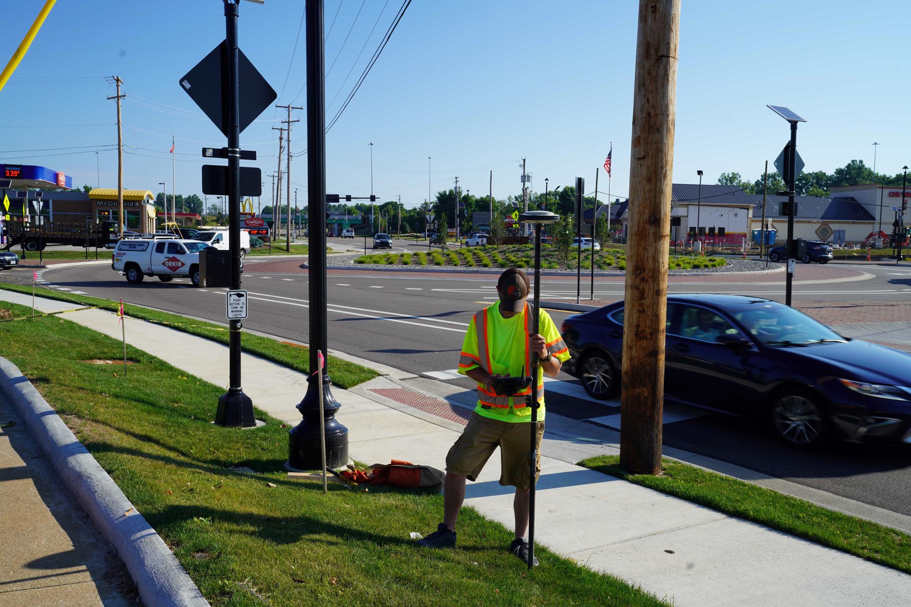
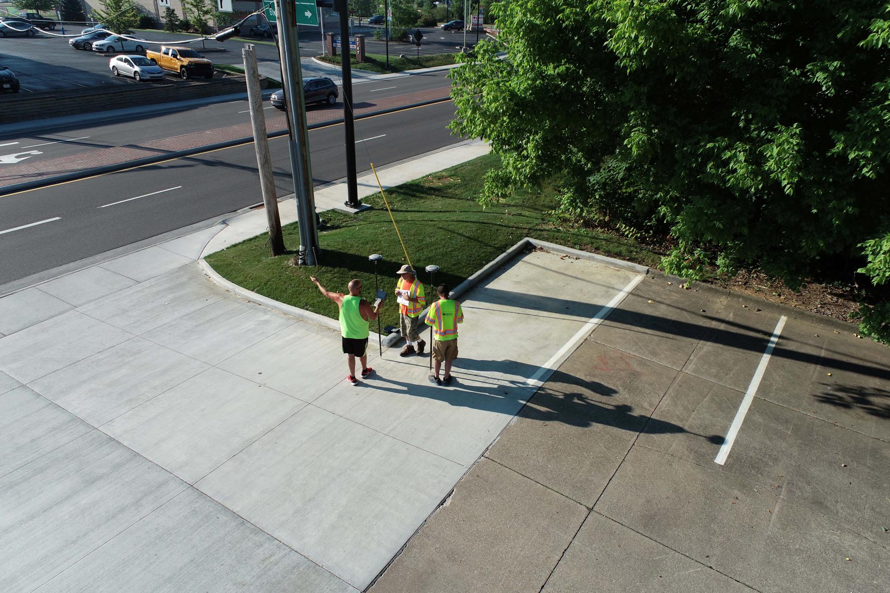
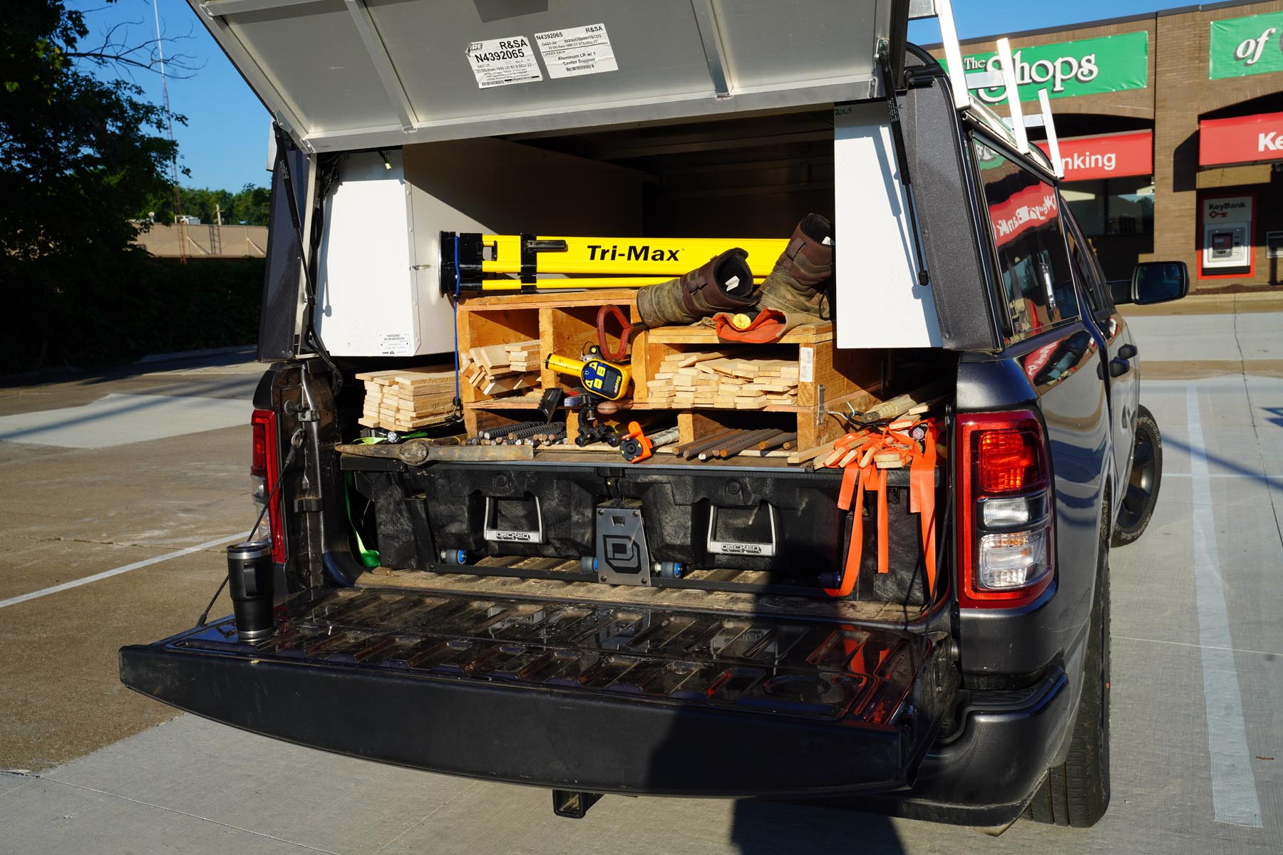
Accuracy, experience, and technology are essential components for successful land surveying and mapping. From topographic surveys for land development to determining complex boundaries, we get you the product you need when you need it.
Meet the Land Surveying & Mapping Team
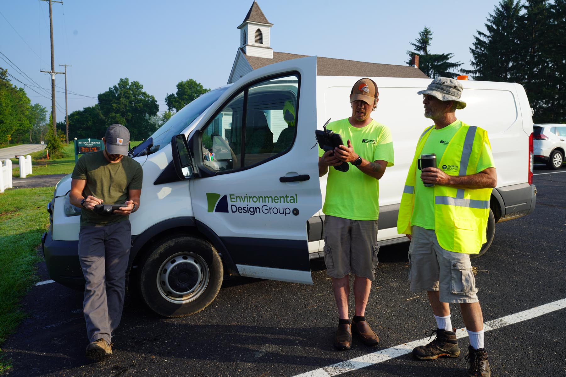
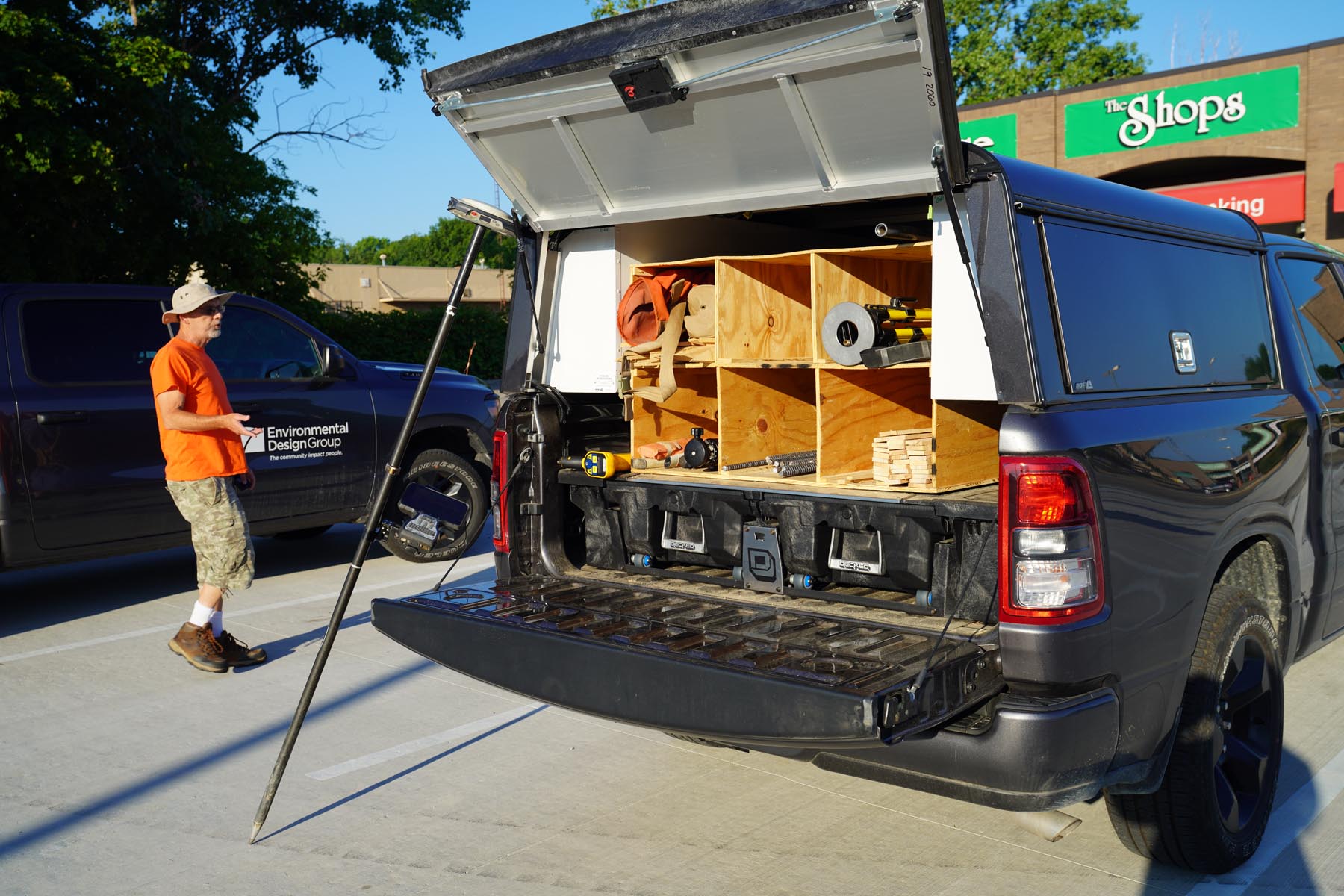
Our in-house local survey crews value precision and work to provide the necessary information to ensure your project proceeds smoothly.
Meet the Team
Land Surveying & Mapping Services
Supporting multiple crews throughout the state of Ohio, we provide the following services:
- Site Surveying
- As-Built Surveys
- Boundary Surveys
- ALTA/NSPS Land Title Surveys
- Property Split and Consolidation Surveys
- Easement Documents
- Industrial, Commercial, and Residential Development Surveys
- Subdivision Plats
- Right-of-Way Plan Development
- Topographic Mapping
- Utility Mapping
- Utility Inventory Mapping
- Geographic Information Systems
- Specialty Mapping
- Aerial Mapping Control Points
- Bathymetric Mapping
- Laser Scanning
- Additional services through consulting partners
- Mobile LiDAR Scanning
- Aerial Mapping
Accurate and Reliable
EDG’s land surveying & mapping team works diligently with municipal and government entities, developers, architects, attorneys, and more to provide accurate and reliable project information.
Contact UsOur Work at a Glance


Related Projects and Resources

Pymatuning Valley Greenway Trail
The planned trail converts a historic rail line into an ADA-accessible path for safe travel and recreation.