Topographic surveys 1 to 500 acres.

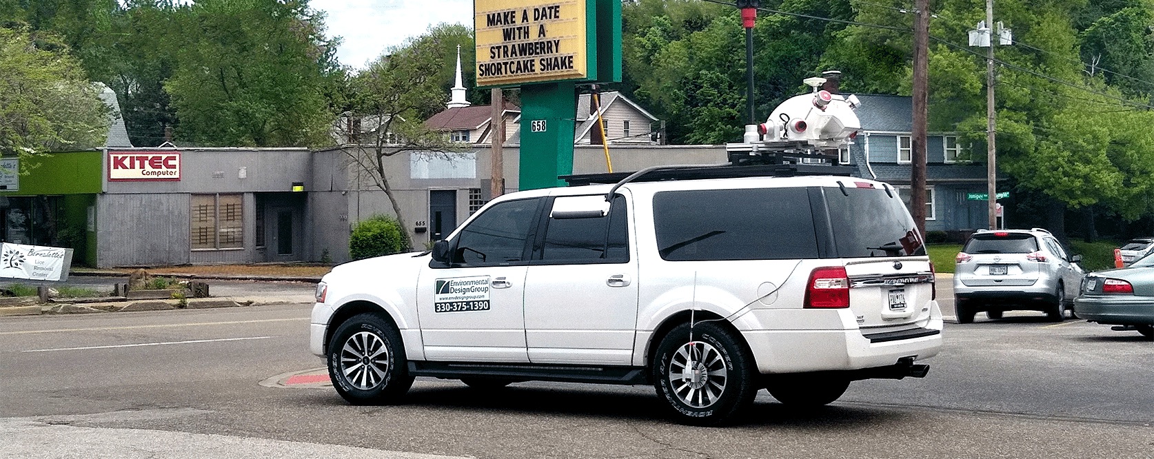
29 miles of urban streets scanned in 2 days.

We perform Bathymetric Surveys in streams, ponds, and lakes
Specialty Mapping
Every mapping project has challenges and multiple approaches to its completion. At Environmental Design Group, we offer a variety of solutions to accomplish mapping projects and meet client goals.
We utilize mobile LiDAR scanning to map large areas in an expeditious manner. For streams and bodies of water, we utilize remote operated single and multi-beam sonar. When projects consist of remote or inaccessible areas, fixed laser scanning is employed. Drone mapping and aerial photogrammetry is performed based on the scale of the site. Our experienced team analyzes every project to find the most cost-effective solutions to achieve desired results.
Specialty Mapping Services
- Aerial Mapping Control Points
- Bathymetric Mapping
- Geographic Information Systems
With our consulting partners, we also provide the following specialty mapping:
- Laser Scanning
- Mobile LiDAR Scanning


