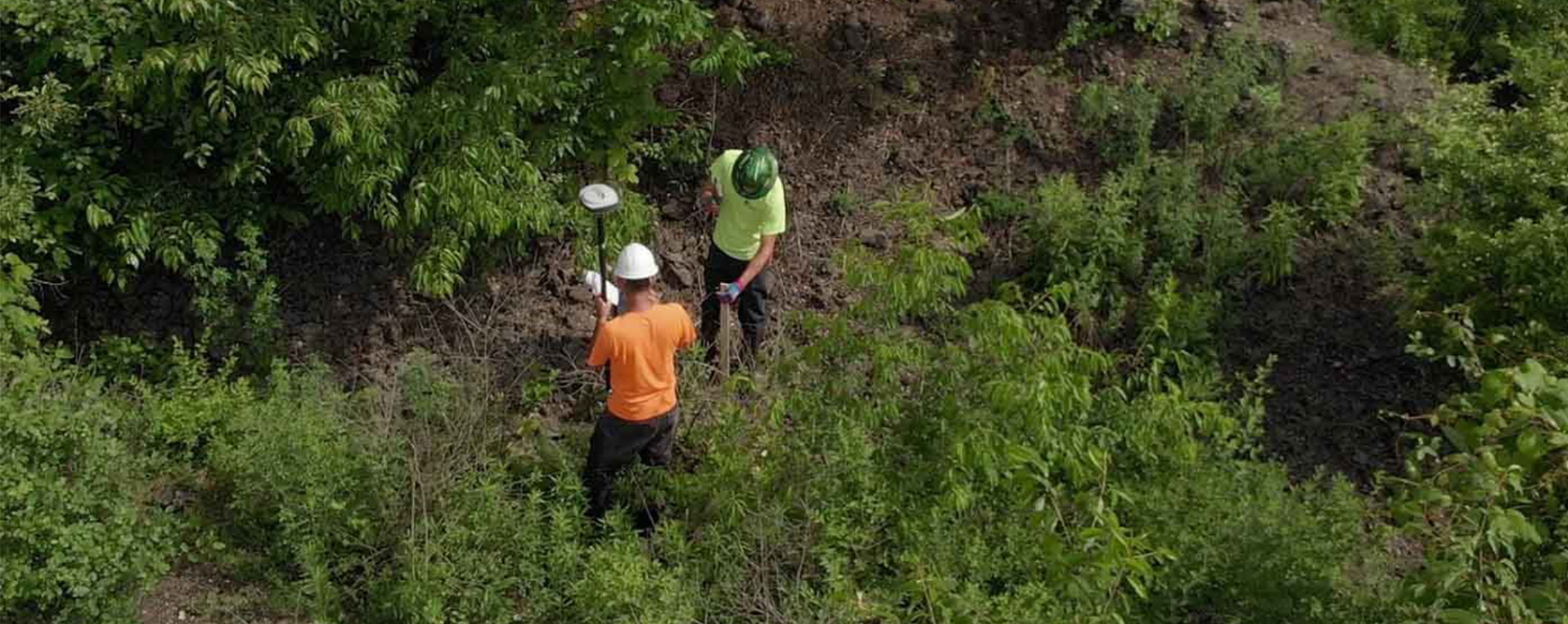
From subdivision of land for estate planning to topographic surveys, our team has provided communities with much needed services for more than 30 years.
Site Surveying
For over 30 years, Environmental Design Group has been providing the community with needed services. Subdivision of land for estate planning placement preparation for utility extensions and topographic surveys to determine quantities of soil or materials for home site development. The Environmental Design Group team can complete even the most complex projects in a timely manner.
Whether it is property lines, topography, ALTA, or a combination of all, the team of surveyors at Environmental Design Group have proven experience to analyze each project and determine the best methodology and technology to accomplish client goals. Developers, home builders, homeowners, attorneys, architects, and industries rely on our team to provide reliable, accurate mapping.
Site Surveying Services
- ALTA/NSPS Land Title Surveys
- As-built Surveys
- Boundary Surveys
- Construction Layout
- Easement Documents
- Industrial, Commercial, Residential Development Surveys
- Property Split and Consolidation Surveys
- Right-of-Way Plan Development
- Subdivision Designs
- Topographic Mapping


