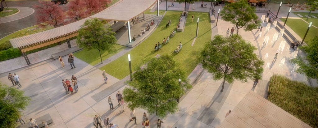
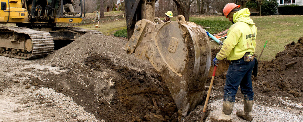
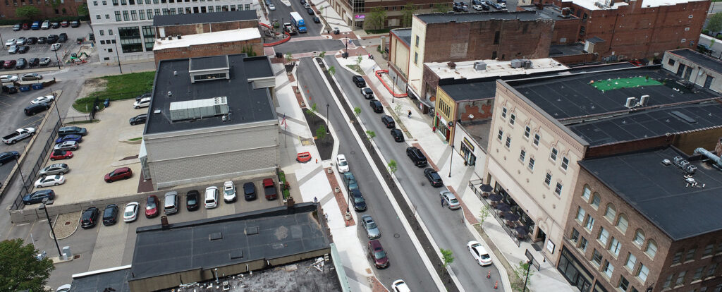
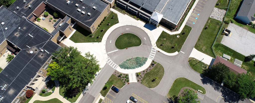
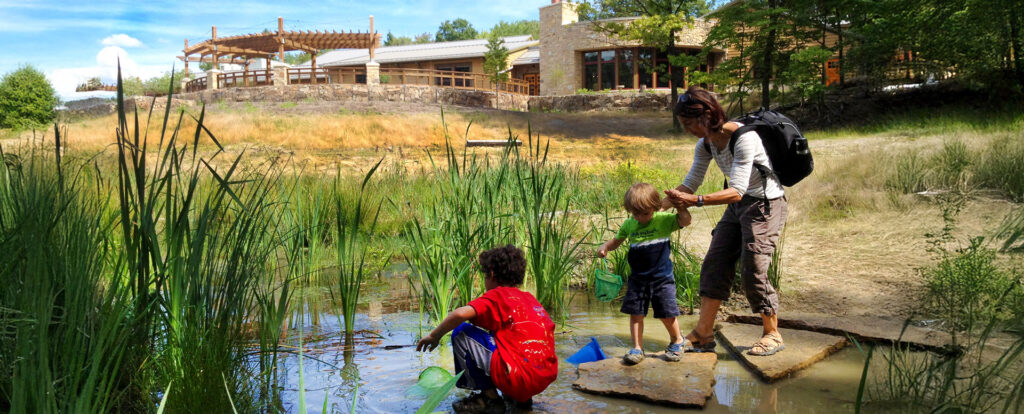
Environmental Design Group’s team of experts consistently delivers quality projects with experiential client service. Check out some of our projects or give us a call to see more.
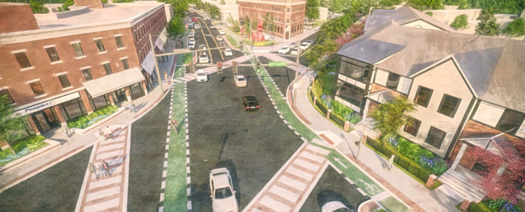
Environmental Design Group’s team of experts consistently delivers quality projects with experiential client service. Check out some of our projects or give us a call to see more.